Carter Notch Hike - March 22, 2003
Activity, report, and photos by Tom S.We showed, we goed.
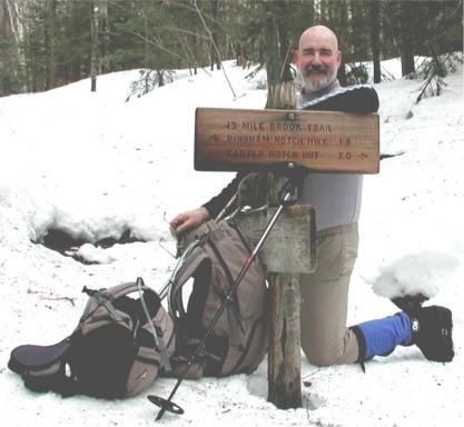
Tom getting ready to go
Annette and I had wanted a warm-up for Randy C's Tuckerman hike on April
6, so we thought that a trip to Carter Notch Hut would fit the bill.
The hike was advertised as a "Show and Go" because neither of us was
prepared to lead a hike in the traditional GONewEngland way. Basically, we
were going hiking and would welcome company.
Email response to this concept was positive, a number of people saying
that they enjoy hiking in small groups or even solitude, but that it would
be nice to know that others were hiking the same trail. Most, however, said
that they could not make this hike.
So Annette and I arrived at the Joe Dodge Lodge (Pinkham Notch Visitor
Center) about eight in the morning. We bought new WMNF parking stickers for
our cars and had a bountiful breakfast. No one showed by about 8:20 and we
left. We opted to start the hike with bare boots, but carried crampons. It
was warm (about forty degrees) at the start, but it warmed rapidly.
We stopped for a snack break at the halfway point (the Carter Dome Trail
junction), then crossed the bridge and marched on. A quarter mile later we
crossed the second bridge, where the trail becomes steeper and stopped to
put on crampons. We used Grivel 10-point adjustable crampons which go on
easily and provide excellent traction. While we were putting on the
crampons, a party of four Scouts from the Worcester area passed us. They
carried large packs, intending to spend the night at the hut.
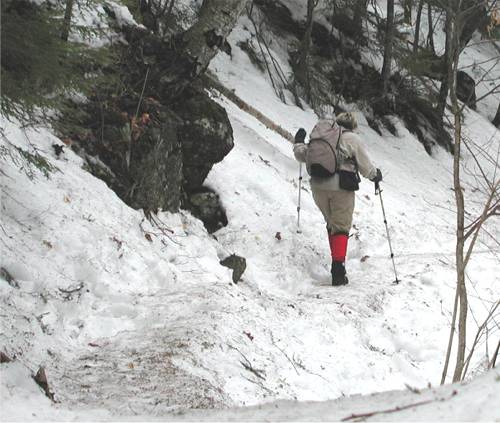
Annette on the trail
The rest of the trail was badly postholed where people had broken through
the snowcrust and left boot sized holes two or three feet deep to either
side of the trail. Annette and I kept to the center of the trail as much as
possible, but still broke through every so often. I figured it would be
worse coming back down.
Series of Cascades |

Annette by a brook |
The last quarter mile to the lip of the notch is extremely steep. About
three-quarters of a mile from the lip is another steep pitch. Even though
this part is less steep than the last part, I always think I am at the end.
So we slogged our way up the steep trail, me thinking I was at the end, and
bingo: the trail grew even steeper. Oh yeah, now I remember.
Then the wind picked up and we could see clouds blowing through the tops
of the trees and I knew it was the end. And so it was. From the lip, we
climbed down a quarter mile to the first pond. There was water on the
surface and we were about to go around, when we saw the Hut caretaker, Mike,
on the ice. "It's four feet thick," he said, so we took the short cut.
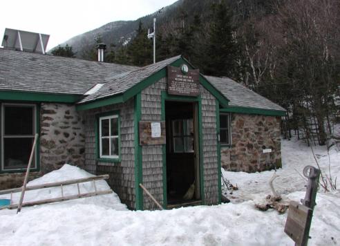
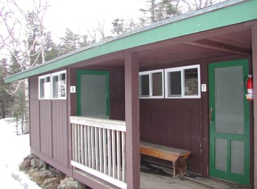
Carter Notch Hut
At the hut, we bought a cup of tea each, and sat at a table to enjoy our
cheese and crackers. The four Scouts showed up (Annette and I had passed
them on the trail), and then four other people. One was from Portsmouth,
about two miles from where I live.
|
The Bunk House |
 |
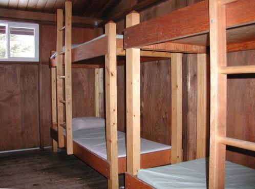 |
Mike said that the hut was full that night (all forty bunks filled), but
that really, winter was the biggest season, followed by summer. He said this
past winter was the toughest of the last four he has spent up here. He said
that daytime temps were typically in the minus twenties, but that the
temperature dropped drastically at night. No wonder the ice was still four
feet thick!
After a pleasant rest, Annette and I donned crampons and headed back
down. As I suspected, postholing was much worse on the way back. The snow
was softer (it was now in the mid-fifties) and footfalls on the trail were
heavier when walking downhill.
We made it though, passing a number of groups coming up to spend the
night. Two men were carrying their packs on a toboggan, and at the halfway
point we met another, larger group of Scouts, these from Cape Cod. By now it
was about three o'clock, and I wondered if they would get to the hut by
dark.
On the way down, I noticed odd little piles of snow.
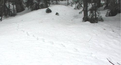
It took me a while to realize that they were the remnants of animal
trails. Something had walked across the snow, packing the snow down in the
tracks. Now as the sun gets warmer, the snow is melting, but melting all
around those hard-pressed spots which now rise in little columns.
We marched on and finished the hike easily and jumped into my new
hike-mobile (a black Ford Ranger) and headed for home. This morning I am
very sore, most likely because I'm not used to wearing crampons, which
requires that you lift your feet a little bit higher than normal. No
worries, Mate. I'll be dinkum for Randy's hike. Maybe I'll do another
warm-up next week.