|
Mts. Skatutakee and Thumb - August 15, 2010
Activity, photo, and report by Ken L.
Mts. Skatutakee and Thumb are reachable from the
Harris Center in Hancock, NH.
Start on the Harriskat Trail and get in a nice loop that takes you over both
hills. Not difficult, just one or two short steep sections here and
there.
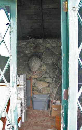 |
The Harris Center was closed, but Your Webmaster wandered around the
grounds and took a look into a small building with open glass doors. I
learned very quickly why they can leave the doors open and not have any
equipment stolen from the building.
Yes, that is a live nest.
They had some of these yummy things nearby:
 |
It was a decent day at the start, warm temps with a little
bit of sun.
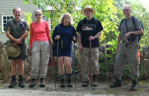
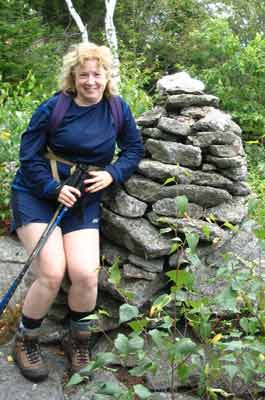
Randy, Pam, Sara, Tom, and Your Webmaster posed for the
obligatory picture, and off we went across King's Highway to the Harriskat
Trail.

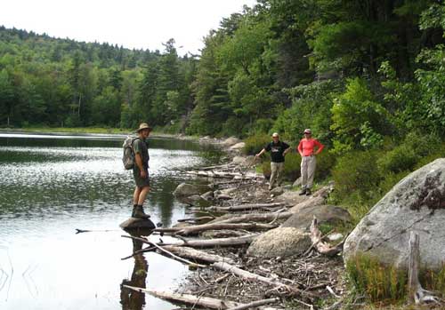
Sara, Randy, Tom, and Pam pause near an erratic
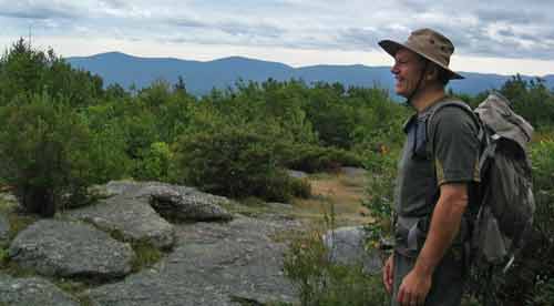
The view from Mt. Skatutakee is a little obscured by trees,
but "Mountain Man" Randy thought he'd get his profile taken with a wonderful
background...
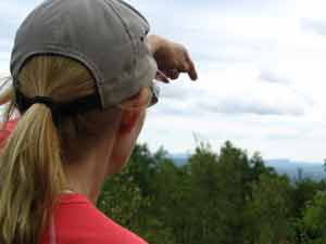
and Pam helped point out the Uncanoonucs:
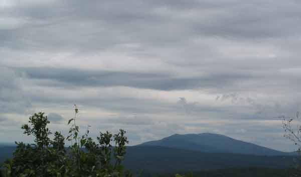
Mt. Monadnock was under some interesting cloud cover as we
arrived at Mt. Tom:
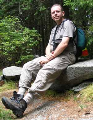
...and there we paused for a while for some snacks, a rest,
and photo ops:
 |
 |
On the way down we encountered some interesting flora and fauna and a
pond...

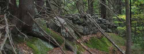
...and Tom thought the uprooted tree was interesting:
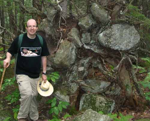
Yep, it's not a stone wall. This is an uprooted tree
whose roots lifted the rocks out of the ground when the tree fell!
If you're up for a couple of miles without a ton of effort,
a bit of a view of Monadnock, and even some interesting woods near the
summits, check out the Harriskat Trail and get in a loop of Skatutakee and
Thumb! |