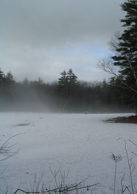
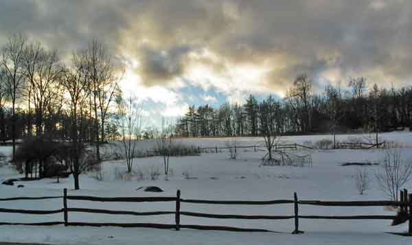
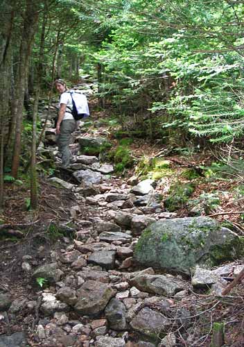
Beaver Brook - December 27, 2009
Activity and report by Ken L.Ugh! Rain and drizzle were
the order of the day...at least the morning. So with that wet weather
forecast, Your Webmaster moved the start time of the walk through Beaver
Brook to the afternoon. Unfortunately those who had intended to come
along thought better of it due to the weather, and maybe they were right...
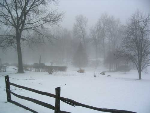
Maple Hill Farm...foggy and drizzly
Fog and drizzle greeted Your Webmaster at the new start time
for the activity. But it was warm, and the forecast was for clearing.
So on went the boots for walking through the slush and over the icy trails.
The footing was a little slick in parts, especially where
the trail was packed down. But there was a lot of water and slush, and
there were plenty of bare spots, so the waterproof boots did OK without
crampons.
 |
For those who may not know,
Beaver Brook is an area of
conservation land in Hollis, New Hampshire, which is next to Nashua.
There are miles of trails that are great for walking, biking,
snowshoeing, x-c skiing, and giving your pup some exercise. Bird
watchers and photographers love the place, too. Beaver Brook has
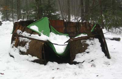
something for everyone. <-- Well,
unfortunately, the people who like teepees might have a bit of a letdown
thanks to the heavy snow, but I'm sure they'll set this one right
eventually. |
Your Webmaster wandered from the Maple Hill Farm to the
Brown Lane Barn and from there spied an unfamiliar trail on one of the newer
trail maps: Love Lane to Howe Meadow. It looked like a nice
loop, and it'd finally get Your Webmaster up on the big hill near the Brown
Lane Barn.
Love Lane leads to the end of the Beaver Brook property and
"The Lodge", which seems to be a newly built structure for conventions and
maybe some overnights...something a bit more fancy than a hiker needing a
place to hang his hat for the night, I think, but I'm not sure. So I
turned right at the lodge and followed an old road to Howe Meadow.
...and it was about then that the blue skies began to
appear!
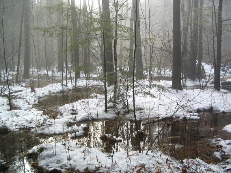
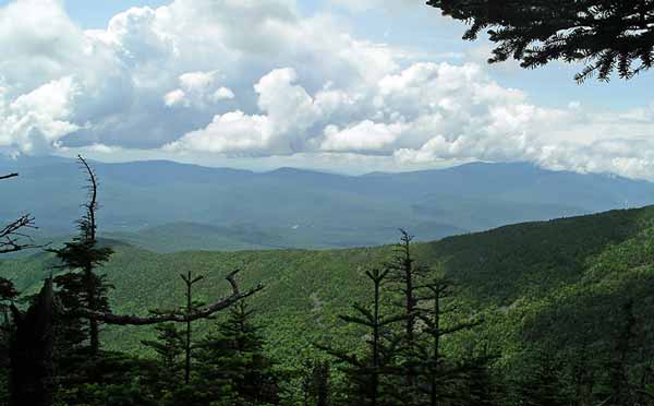
Water and trees near Howe Meadow
(click for a larger image)
Sure enough, the sun made a spectacular appearance:
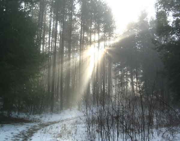
The sun out, the temperatures warm, the fog on the snow
slowly burning off...it was really amazing.
From the Howe Meadow Trail there's a new trail with a
million switchbacks (not that I mind :-) ), and it leads back to Brown Lane
and the Brown Lane Barn.
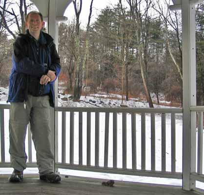
A stop at the gazebo near the Brown Lane Barn
As it was starting to get a little late, it was time to head
back to the Maple Hill Farm, and I arrived there just as the sun was setting
behind the hill.
Dusk at Maple Hill Farm
Nice. |
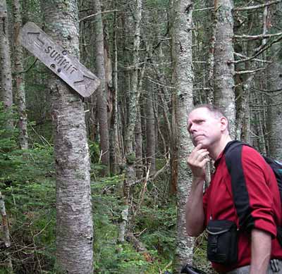
North Pack - September 29, 2009
Activity and report by Ken L.Another trip to
North Pack in southwestern New Hampshire! Your Webmaster didn't get
any takers, which is rather a shame, since it was a beautiful fall day.
 |
Instead of heading up Ted's Trail, Your Webmaster
decided to head up to the Wapack Trail for the way up and return via
Ted's Trail. So it was a bit of a walk up the road from the
trailhead for Ted's Trail to the Wapack.
 |
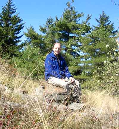
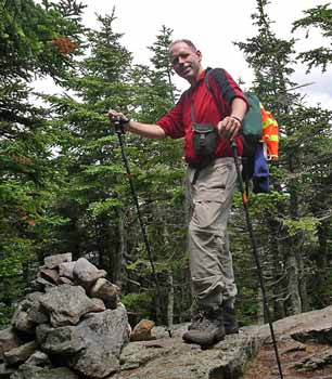
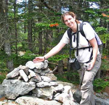
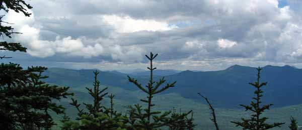
The views were great!
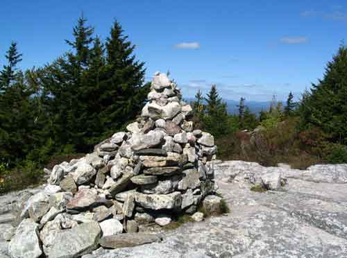 <-- Cairn at the top of North Pack
Mt. Monadnock -->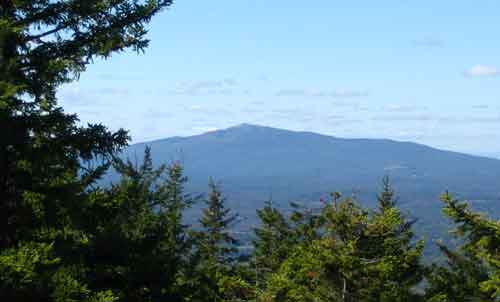
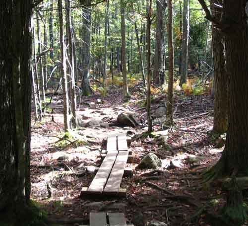
| Part of the reason for choosing Ted's Trail was to see
the results of the ice damage from the 2008-2009 winter season. As
you recall from our earlier trip report,
Ted's Trail had extensive ice damage and was nearly impassable.
I'm delighted to report that some good souls went along Ted's Trail and
hacked out the major bits of debris. You can now make your way
along the trail.
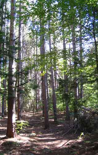
Ted's Trees |
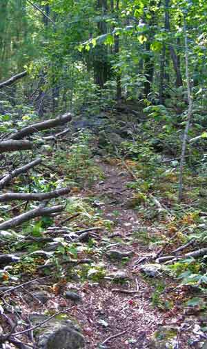
A cleared trail |
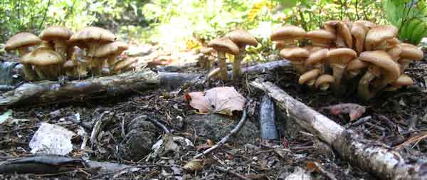
Cool Shrooms
I think that was the first time I wandered down Ted's Trail.
However you tackle this small hill, it's always a great hike to some nice
views! |
Nubanusset and Spoonwood Kayaking - August 3, 2009
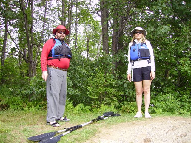
Activity and report by Randy & Pam
| Nubanusset and Spoonwood Lakes in Hancock,
NH were the explored by the GONewEngland expeditionary force on Sunday,
August 3. Nubanusett Lake is a 300+ acre extra clean lake that supports
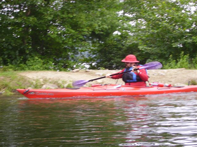
all types of boating but not jet skis. Veteran kayak event leader Jim
joined hosts Randy and Pam for an afternoon on the water.
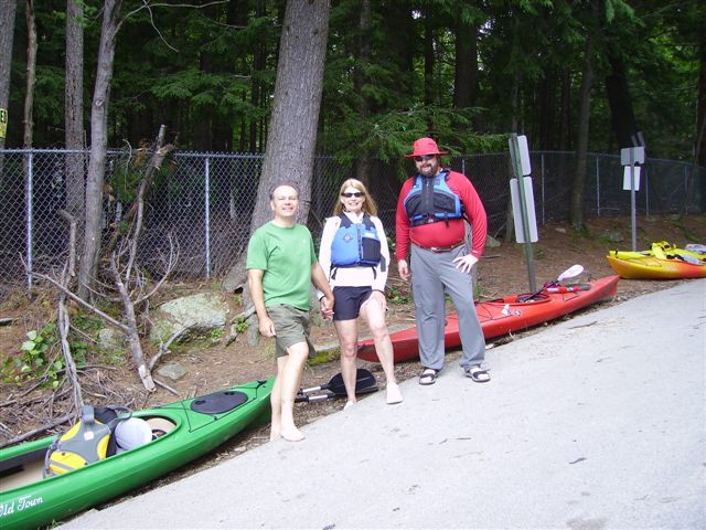
After the "group before" photo op, we
launched into the bottom of the lake chop and headed toward calm water.
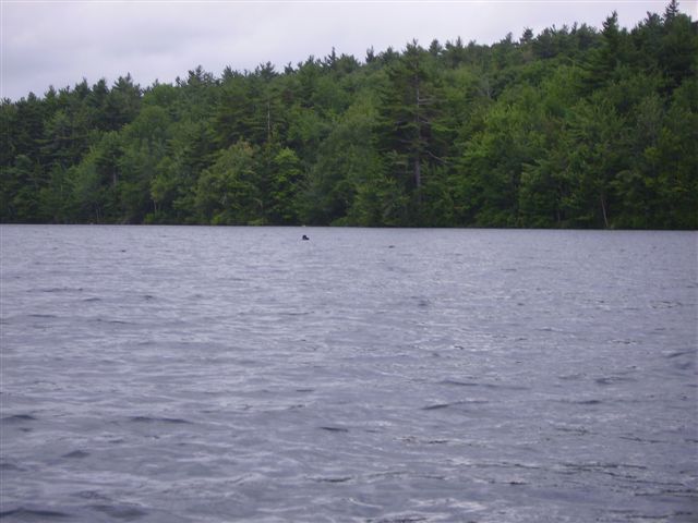
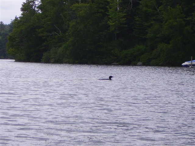
Soon, in a becalmed water finger just beyond
a pair of reclusive loons, we found the bald eagle nesting site.
We couldn't see the eagle, but the chicks
did make a ruckus.
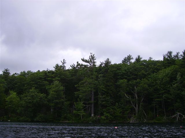
Nubanusset is fed by Spoonwood Lake via a
waterfall.
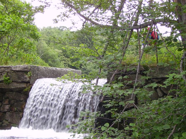
This photo (At the top of the portage)
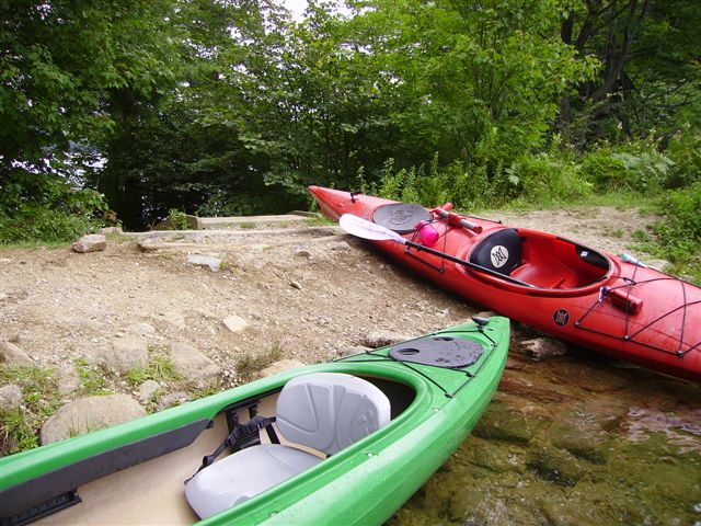
shows the portaged kayaks waiting for
paddlers.
The upper lake was dammed in the mid 1800's
for additional water for the Nelson Machine Works (thank you Jim for the
history note) and has NO development on its shores. Since a portage is
the only way to get to the lake, there are no power boats, and wildlife
is attracted by the quiet.
Back in the boats, Jim is dry and leaving
land.
Today on Spoonwood Lake we didn't see much
more than woods, hills and an excellent sand beach for lunch. We took a
lesser known second portage from the far end of Spoonwood Lake that took
us to the far end of Nabanusett Lake again. This time we paddled down
the full length of the lake passing more friendly loons,
and at long a last, one of the bald eagles
flew across the lake - far from the nest and landed in a tree.
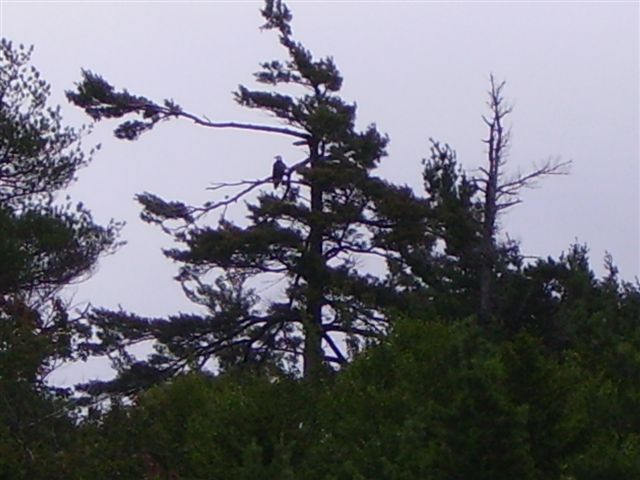
Photos do not do justice to the size or
majesty of these birds. Twenty more minutes of paddling took us to the
launch were we retrieved the boats to their racks and headed home. |
|
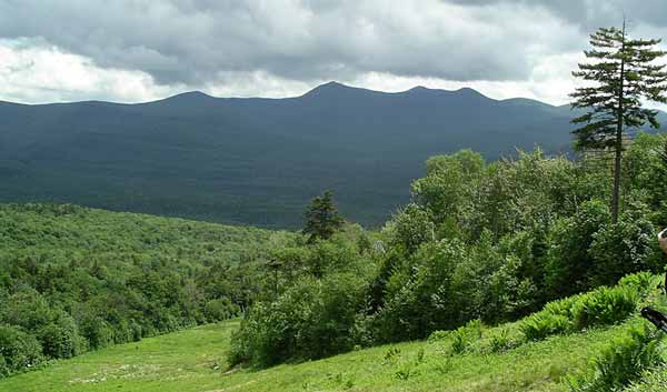
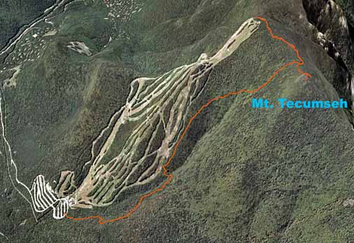
Mt. Tecumseh - June 27, 2009
Activity and report by Ken
Photos by Sandy and Ken
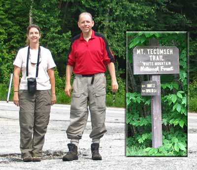 |
Mt. Tecumseh is a 4000 footer (barely--it's 4003') in
Waterville Valley, NH. It can be climbed from Tripoli Road or from
the trailhead at Parking Lot #1 of the Waterville Valley downhill ski
area off Route 49. Sandy and Your Webmaster chose to take the 2.2
mile Mt. Tecumseh Trail from the ski area parking lot. We lucked out
with the weather! Expecting anything from showers to thunder, we
got clouds with some sun here and there. |
| Ahh, what a nice trail...nice and flat. The trail follows a
brook for a little while, then turns in to the woods and crosses a small
brook at a nice glade. How pleasant! |
 |
Then a trail sign invited us to check out a view, and we
took the trail sign up on its offer:
There was some neat rockfall caves along the way...
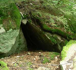
...and even some nice flowers!
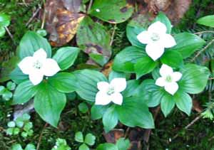
|
But then...
...we encountered THE WRATH OF SANDY!
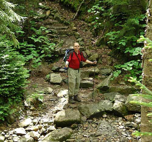
After the "nice view" from the ski slope, the trail
immediately starts up...and it doesn't let up. This is a 2.2 mile
trail with a change in elevation of about 2100'. From the start
we'd been walking for maybe 3/4 of a mile or more without much of a
slope, so all that altitude had to be made up somewhere! Sure
enough, the Mt. Tecumseh Trail became a constant uphill for most of the
remaining trail.
 |
(Yeah, Sandy was lookin' at me...<gulp!>)
:-) |
Fortunately after slogging for a while we did hit the ridge
to the summit...
...ummm, yeah, eventually we worked it out.
We got in a bit of lunch (shared with the abundant black
flies--who didn't even say THANK YOU) and saw some decent, albeit limited,
views from the wooded summit.
On the return we detoured to the Sosman Trail which leads
across the ridge to a communications tower at the top of the ski area.
We backtracked to the Mt. Tecumseh Trail and made it down to the cars.
Dins at a local tavern was most welcome!
Another 4K to check off...that makes two for Sandy so far
this season! Great job! |
|