 |
Pawtuckaway: Middle, South Mts. -
December 6, 2008
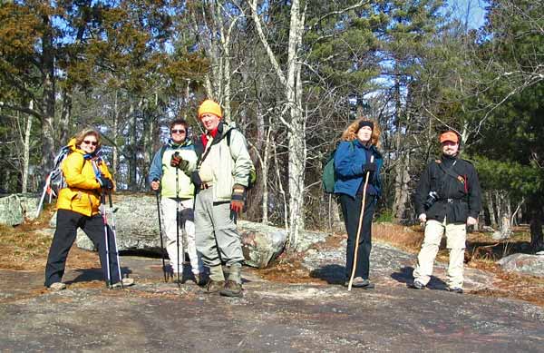
Activity and trip report by Ken L.
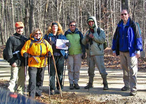
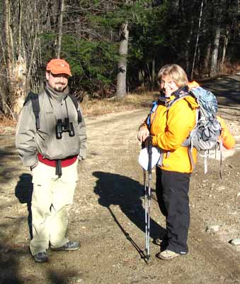
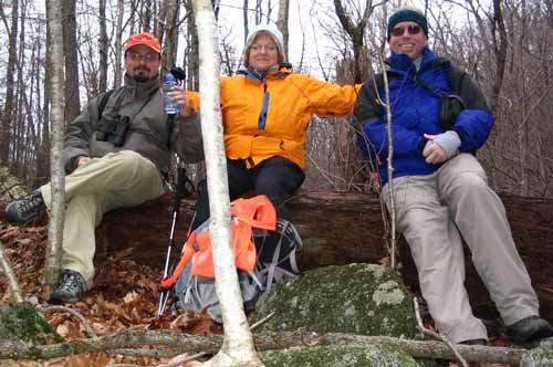
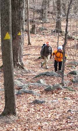
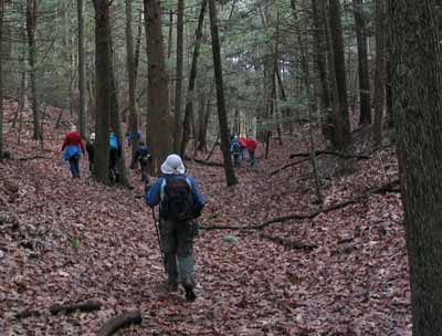
DJ, Kris, Deb, Janice, John, and Your Webmaster met up
for a hike at Pawtuckaway State Park off Rte. 101 in southeastern New
Hampshire. The plan for the day was to catch the view from two of
the three hills in Pawtuckaway, roughly 6 or 7 miles of walking with an
occasional short, steep climb. |
We met up with some gates along some of the roads we wanted to take, so
we wound up parking along Reservation Road and hoofing it. It was a
good day for a walk anyway with sunny then hazy/cloudy skies but light winds
and temperatures reasonable for this time of year.
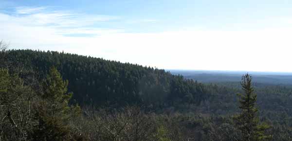
Our first stop was the middle hill:
There's one trail up, and that leads to the ridge along the
top from which there's a nice view of the end of the south peak and then a
great view to the south/southwest.
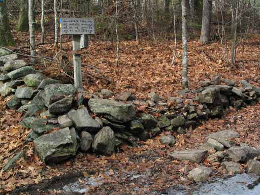
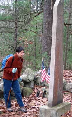
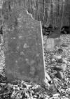 At the bottom of the trail for the middle hill, there's a cemetery.
The group stopped there for a little while.
At the bottom of the trail for the middle hill, there's a cemetery.
The group stopped there for a little while.
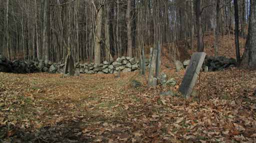
Judging by the pictures, this is the same cemetery we saw
during our trip to Pawtuckaway in August 2001,
but at that time it was surrounded by foliage and had a good deal of ground
cover, making it look like a different place. So that's two cemeteries
Your Webmaster knows about in Pawtuckaway, and rumor is there are four or
five.
 |
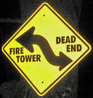
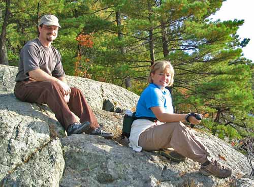
Shortly after the cemetery we ran into one of the
trails up the south hill to the fire tower, and at that time John and
Janice decided to cut their trek short and visit the fire tower and head
back to the car from there. Kris, DJ, Deb, and I continued our longer
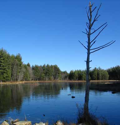
journey and took the road up to Round Pond. The Boulder Field gets
its start at Round Pond, and we skirted the pond briefly to get to some
rocks for a lunch break.

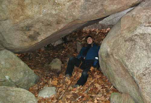
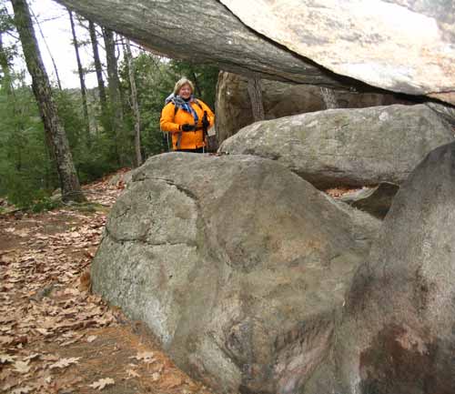
Deb lounging in a boulder cave |
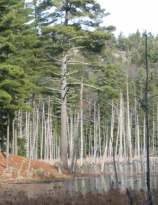
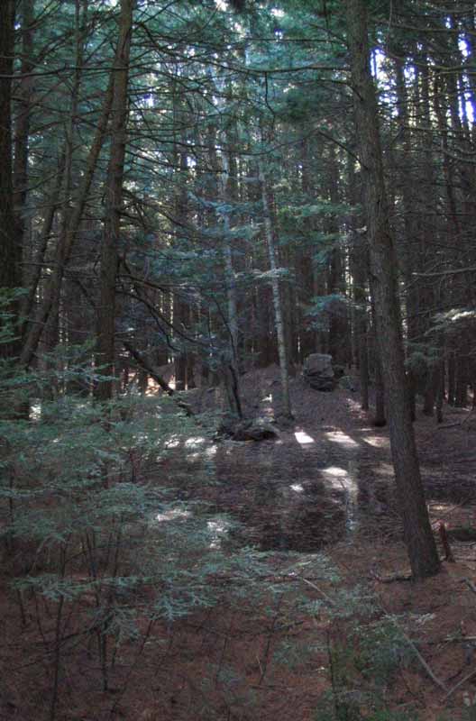
Round Pond had a thin layer of ice, clearly not safe enough
to walk on. There was a large crack running through the ice. A
solo female duck was hanging around in the reeds at the side of the
pond...we were wondering what she was doing there and where all of her
friends were.
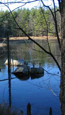
Deb wandered into the boulder field near the pond, and she
came back with a story about a balancing rock:
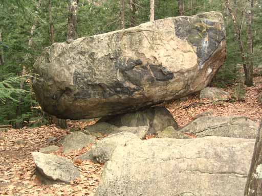
Apparently it wasn't a story!
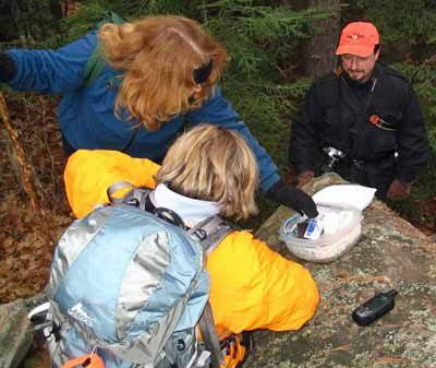
And it turned out there's a geocache in the area, which we
found without too much trouble.
Given the time and the short daylight hours, we decided to
head to the fire tower instead of making our trek longer by going to the
Boulder Field. Those boulders are pretty big and aren't going anywhere
- we'll get back there to see them next time.
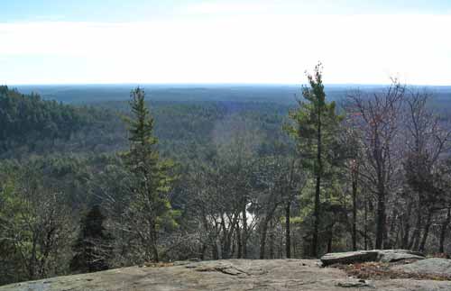
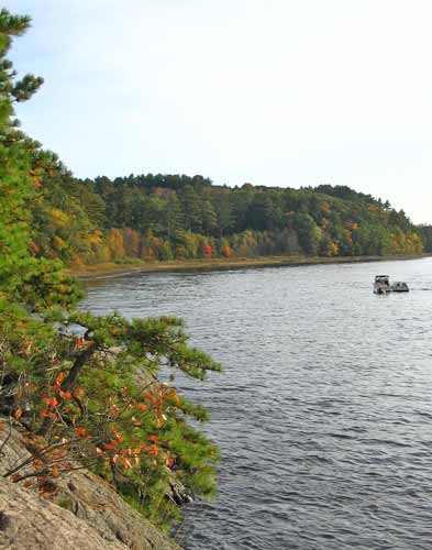
The hike up the south ridge didn't make any friends, as
there's a short but steep section. Then a walk over the ridge brought
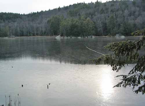
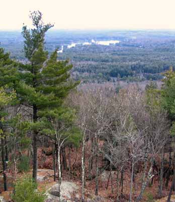
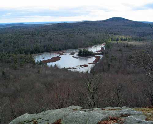
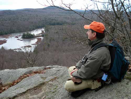
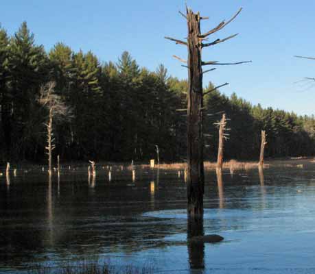
us to the fire tower from which there are some nice views in all directions,
including this one of Pawtuckaway Lake, also part of the state park:
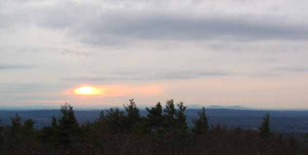
With the sun getting lower in the sky, it was time for the
four of us to head back to the cars.
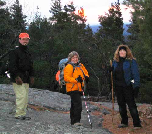
DJ, Kris, and Deb ready to head out
Pawtuckaway State Park is a huge area with three hills and
lots to explore. With a steady pace you could walk all three hills,
visit the cave at the Devil's Den, see the spooky woods off the north hill,
and be amazed at the boulders in the Boulder Field. But it's also nice
to know there's more to go back to with another visit. |
Pratt Mt. - November 29, 2008
Activity and trip report by Ken L.
Additional photos by Kris J.
 |
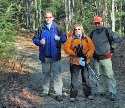
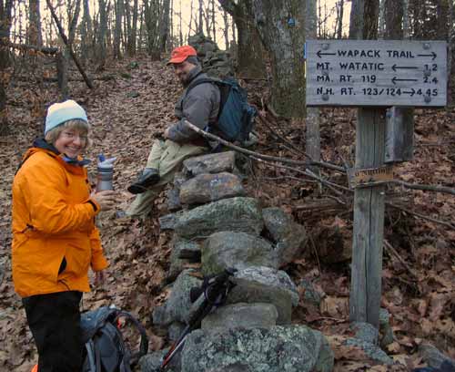
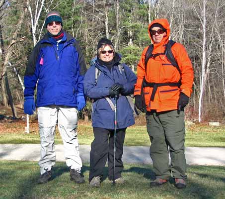
Your Webmaster, Kris, and her husband DJ (long time
friends of Your Webmaster) took a walk along the Wapack Trail from the
Mt. Watatic parking lot (Rte. 119 in Ashburnham, MA) to Pratt Mountain,
a little over 4 miles away.
The weather was a bit above freezing for most of the
day, but we had some chilly wind when we were up on the ridge.
What started out sunny became fairly cloudy, and we saw a snowflake or
two. |
| Our first mission was to pick up Mike's Midstate Movie
Madness geocache. Your Webmaster was thwarted by this one in a
previous attempt, as the coordinates led to a huge tree, but there's no
geocache there. Kris, however, spotted the cache. --> From there
we took the State Line Trail over to the...uhhh...state line.
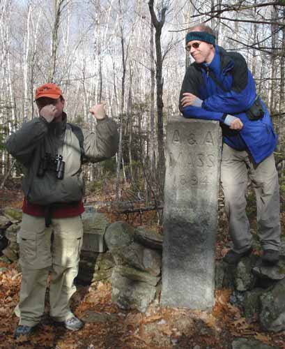
Great respect for Your Webmaster |
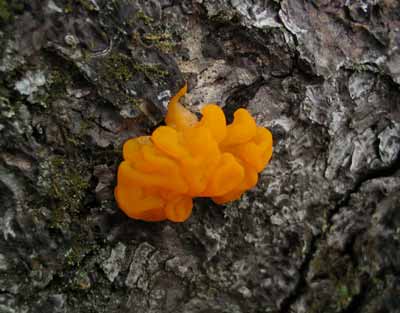
Funky fungus on a log near the cache |
It's there that the Wapack gets a little odd. It follows dirt roads
for a while, and it dumps you into an open area that someone has named:
"Teenage Wasteland"
We encountered some hunters out there, and they said they hadn't been
having much luck.
After a left turn at a "T" intersection
 ,
the trail bears to the right, and it goes by some kind of camp that's seen
better days. ,
the trail bears to the right, and it goes by some kind of camp that's seen
better days.
| Treading quietly but quickly past this uncomfortable
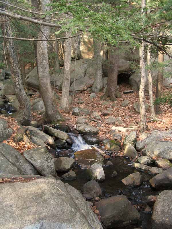
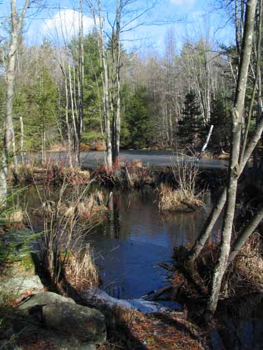
setting, DJ, Kris, and I approached state land near Binney Pond.
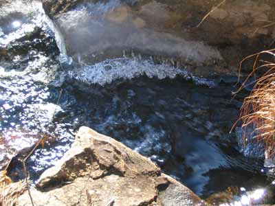
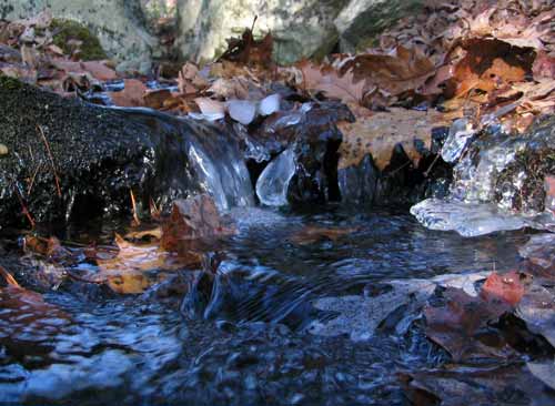
The trail follows Binney Pond for a while, then you encounter a natural
spring. -->
We grabbed some snacks at the spring and got ready for
the next leg of the hike. |
 |
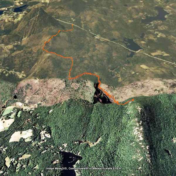
| As you can see by the hike profile, the hike up from
the spring to the shoulder of Pratt Mountain is a steep one!
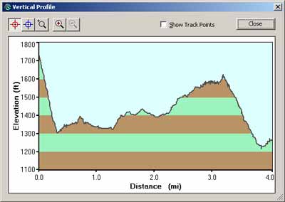
Hike Profile: Shoulder of Pratt Mt. (left)
to Rte 119 (right)
Pratt Mountain's ascent is on the left. It goes
from about 1300' to over 1700' in a very short span. Let's just
say that this little hill didn't make any friends...BUT maybe the view
from the shoulder would? |
 |
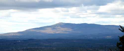
Binney Pond from the shoulder of Pratt Mountain.
Mt. Watatic is the tall lump in the back.
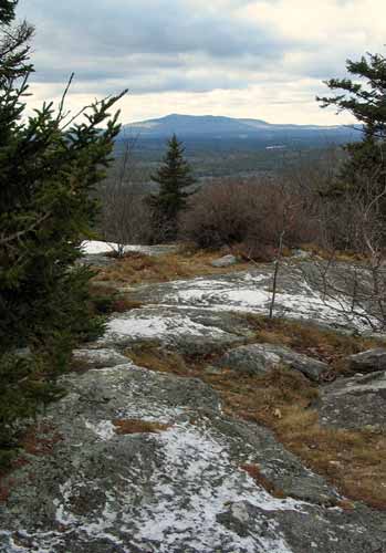
We went a bit further along the ridge and made it to Pratt
Mountain proper. Shortly after that there's a great view of Mt.
Monadnock and to the northwest.
The wind was up, so we went back down to the spring for some late lunch
before heading back to the car. Given the short daylight hours at this
time of year, we were about at dusk back at the state line, 1.4 miles from
the parking lot.
By the time we got back to the car, there was little light
left. Well, we're about three weeks away from the winter solstice, so
that's not surprising. We had lamps, but we didn't need to use them
this time.
The round trip turned out to be about 8.5 miles, give or take.
Click here for a KML file you can
view in Google Earth of the trail from the shoulder of Pratt Mountain out to
the trailhead on Rte. 119. Below are some neat screen captures from
Google Earth.
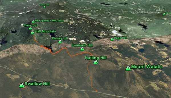 <-- From the south
From the north -->
 |
Beaver Brook Walk - November 23, 2008
Activity and trip report by Ken L.
|
| Geocaching... |
|
 |
Well, we tried to find the Elkins
Road geocache this time (Your Webmaster found it a while back),
but there was no luck. It could be that where it is hidden
is frozen to the ground, and what we needed to move to find it
wasn't going to budge. We may need to wait for spring! |
|
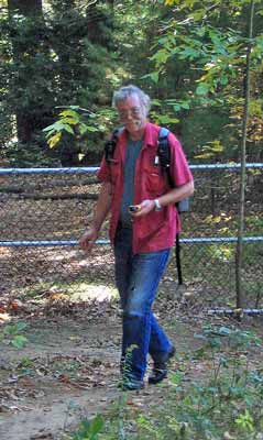
Your Webmaster, Kris, and Arnie drove over to
Beaver Brook in Hollis, NH for
a walk. Beaver Brook is an area of conservation land with miles of
trails, several ponds, beaver dams, birds, and more. The Beaver
Brook organization puts on a variety of activities from campfires to
interpretive programs. You can even stay overnight in some
shelters.
Kris and I arrived at the Brown Lane Barn first and got to play with
a year old German Shepherd named Rocky. Arnie arrived, and we
bundled up to stay warm and head off to the Wilderness Pond.
Given that the temps for the past few days have been
below freezing, the ponds have frozen over with about 1.5" of
ice...enough to stand on.

...well, close to the shore anyway. :-) |
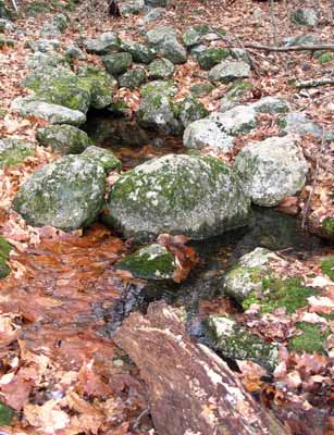
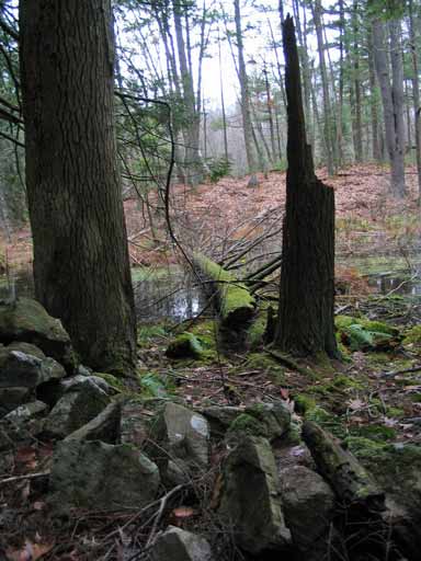
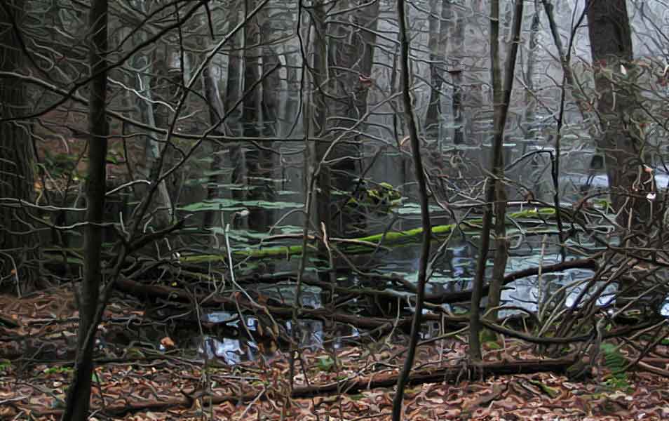
After we visited the Wilderness Pond, we took Shoen Road and
through some spooky woods.
Eventually we made our way to the big beaver dam at
Spatterdock Pond.
It's a big beaver dam, and the pond it creates is pretty big
as well.
The weather stayed cold and a bit windy at times, but the
sun made it a pleasant visit to Beaver Brook. |
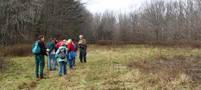
Boxford State Forest Walk - November 16, 2008
Activity by Michael S.
Photos and trip report by Ken L.
| The Boxford State Forest is a large area of land in
Boxford, North Andover, and Middleton, Mass. Originally pegged to
be a NIKE site (nuclear missile defense), with funding cuts in the early
60s the land was turned over to the state, and it now offers miles of
trails, an old quarry, a homestead, and an old cemetery with graves of
soldiers who fought in the Revolutionary War.
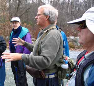
Michael's orientation speech.
Yep, that's Arnie on the right. |
 |
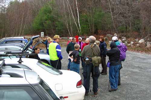
We were joined by a bunch of people from Sub SIG on this
cloudy but not terribly cold day. Our walk started from the parking
lot at the end of Sharpner's Pond Road, which is off Rte 114 at the border
of North Andover and Middleton. Note: If you use a mapping tool
like Google Maps to get here from, say, I95, you may be out of luck, as you
may be routed through the State Forest on roads that don't exist (Stonecleave
Rd.). Look a bit to the left on the map and put Lacy St. as part of
your route.
 <-- A stop at the quarry.
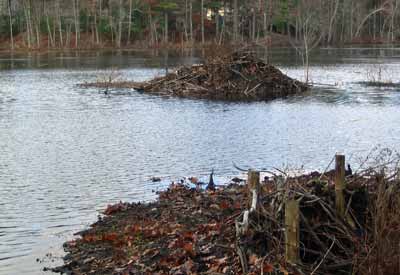 <-- Beaver lodge on Towne Pond.
 <-- Fording the raging stream.
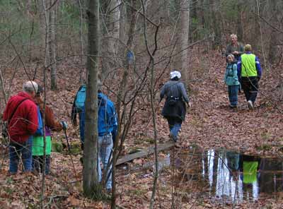
 <-- Awesome spooky woods, near the far point of our journey.
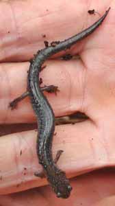
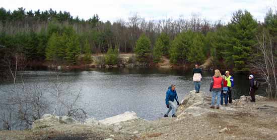
Salamander
Of the 16 of us, one person made his way back out from the
far point at Crooked Pond, but the rest of us were going to head around the
pond (which has flooded several roads in recent years because of beaver
activity), up Mt. Eleanor (just a small hill), and then over to Bald Hill.
Bald Hill
|
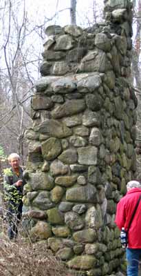 |
Near Bald Hill is the old homestead, comprising a
house, a barn, and a well (if you can find it). The house is now
just a chimney and flagstone floor, and the barn is a cellar hole.
Across a field from the old house is a cemetery where fresh flags are
still placed for a soldier who fought in the Revolutionary War. |
 |
As we paused to have some lunch, it became apparent that the
wind was kicking up and the temperatures were going down. Gloves and
hats appeared, and it was time to get moving again to get warm and head home
after our 7 or so mile trek!
|
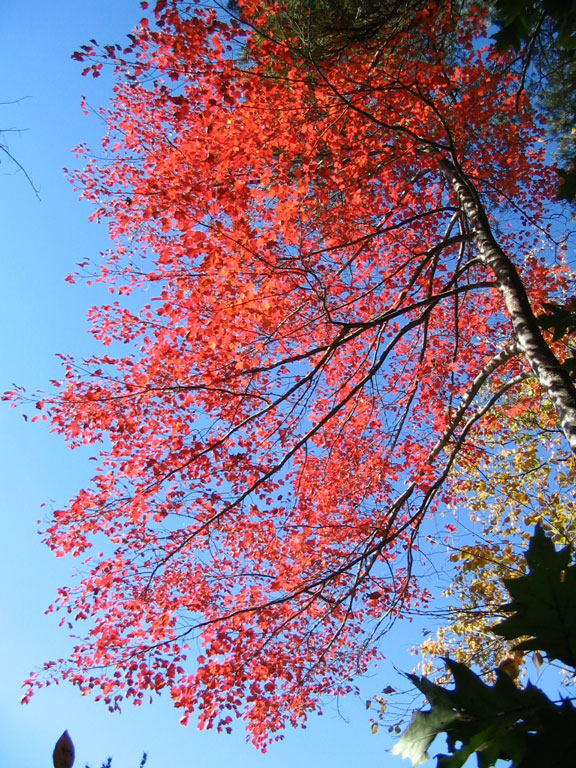
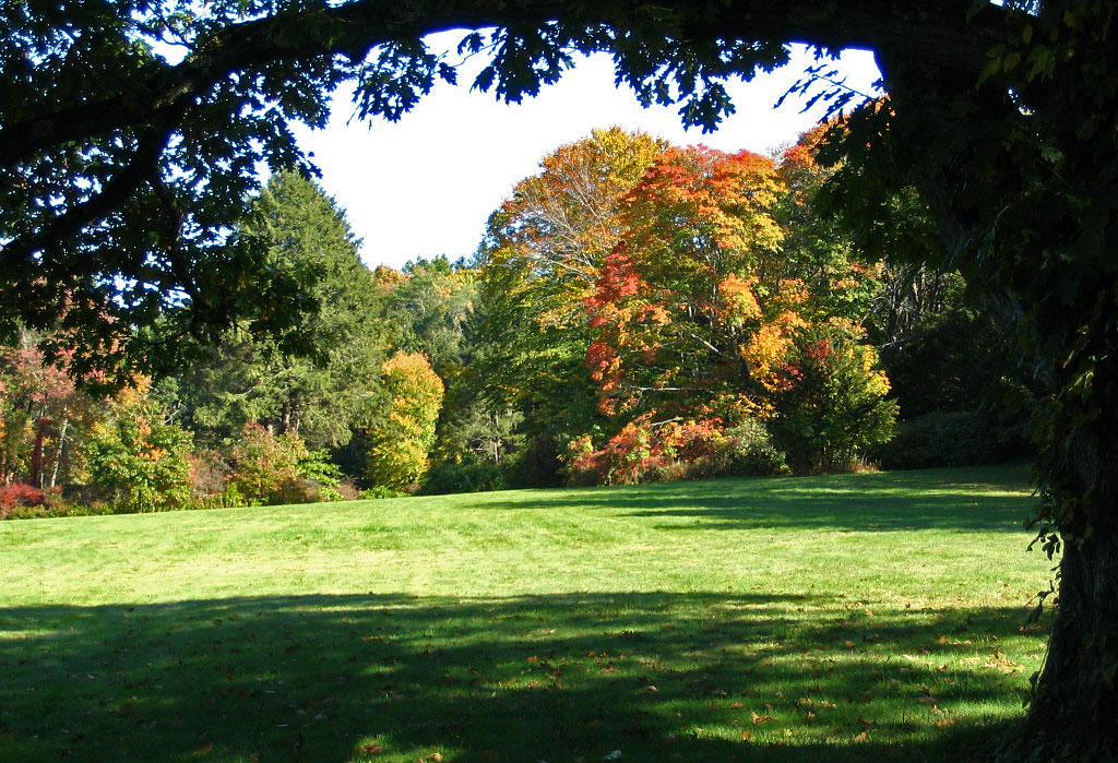
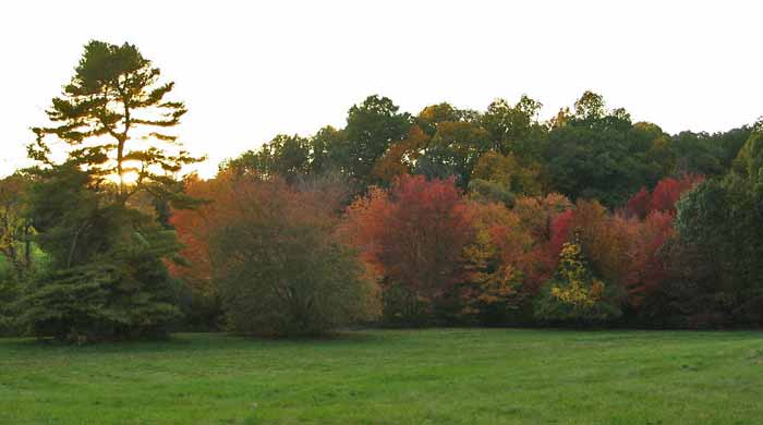
Maudslay State Park Walk - October 12, 2008
Activity by Kris J.
Photos and trip report by Ken L.
 |
Maudslay State Park is located in the northeastern
Massachusetts town of Newburyport. It's the grounds of the former
Moseley Estate with its variety of trees, gravel roads, bridges, and
walking paths. Most of the estate's buildings are gone, but you
can see the main house's foundation and what remains of the old swimming
pool and the old gardens. One or two other structures are intact
but not open to the public.
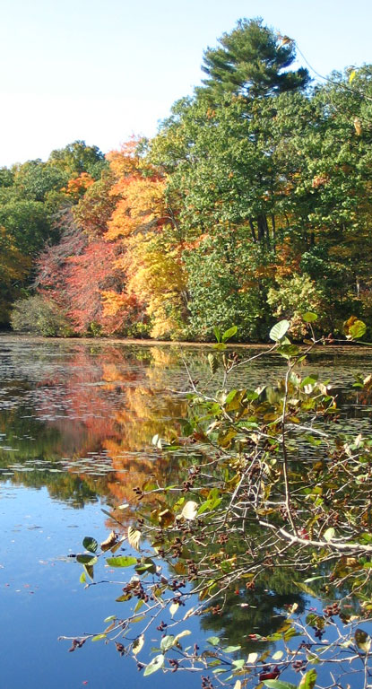 |
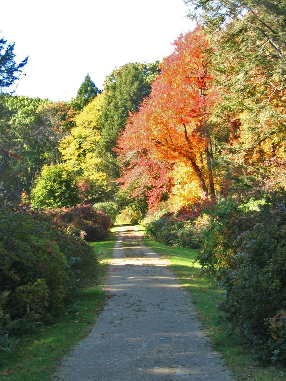
Kris, her husband DJ, and I went over to Maudslay on this
nice, sunny fall day, and we met up with Dave J.
Our first task was to find a geocache near the parking lot
(it was very easy), and then we wandered the trails on the other side of the
road from the main part of the state park. Eventually we made it to
the formal entrance to the estate
 ,
a gated gravel road leading to the main house through an open field. ,
a gated gravel road leading to the main house through an open field.
 Along the way we stopped to snag a few more geocaches, then we sat on the
rocks overlooking the river (always a great spot for some snacks).
Along the way we stopped to snag a few more geocaches, then we sat on the
rocks overlooking the river (always a great spot for some snacks).
As the sun went lower in the sky, we wandered out of the
woods and back to the cars.
Always nice to visit Maudslay! |
|