Ted's Trail, North Pack - April 17, 2005
Activity by Ken L.
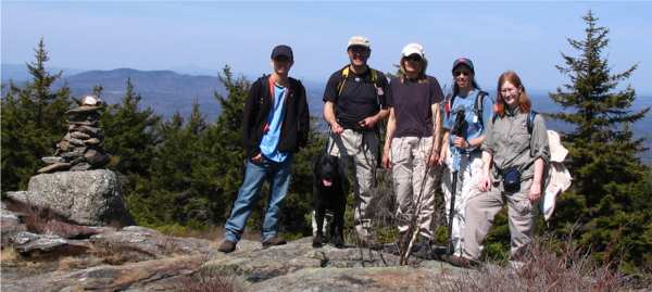
Your Webmaster, Chin, Pam, Shadow, Randy, Michelle,
Dawn, Jen
Spot on! Weather: Perfect. Sunny, 70s.
Bugs: NONE. Trail: Always nice. Group: Great
folks.
 |
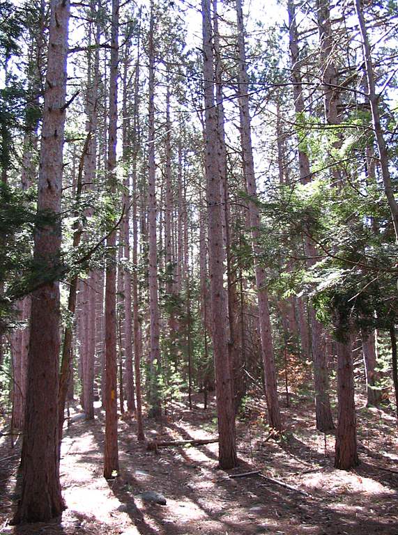
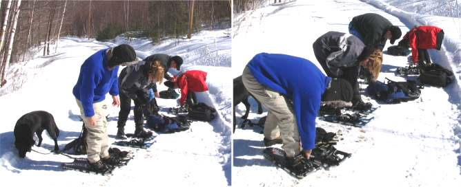
Ted's Trail is a favorite. It's a pretty trail to start with,
and it's not a heck of a lot of work for some good views. A number
of familiar people (and one familiar canine) joined in, and we had a new
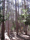
person--Chin--along, too. <-- Ted's Trees and
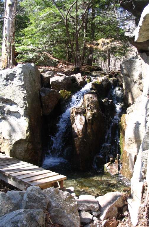
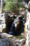
Ted's Waterfall
 Dawn pauses to
look at the waterfall from above. Dawn pauses to
look at the waterfall from above.
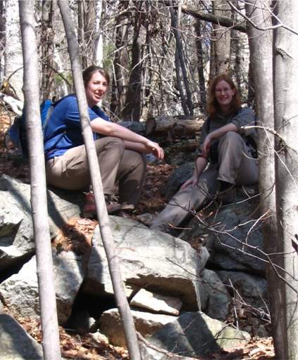
Dawn and Jen take a break.
|
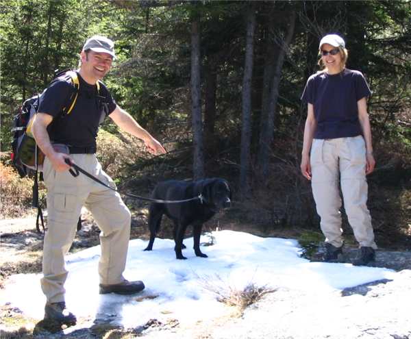
There's snow in them thar hills! Randy, Shadow,
and Pam.
We ran across a few patches of snow along the way, mostly as
we got higher. The snow was limited to the north side, except for a
few patches of what must have been deep snow in the sun.
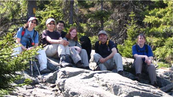
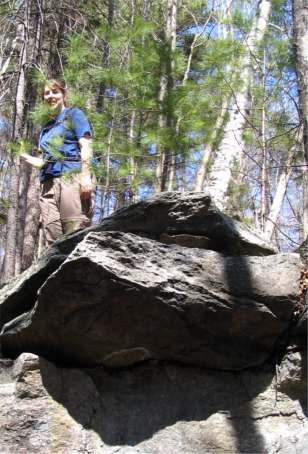
Everyone takes a break.
About 2/3 of the way to the summit, the views start...
...and about 3/4 of the way up there's the spot for
lunch (at South Cliff). It comes with its own view of Mt. Monadnock to
the west 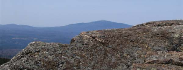 and South
Pack, Watatic, and Wachusett to the south. and South
Pack, Watatic, and Wachusett to the south.
Summit
Great day, good hike! |
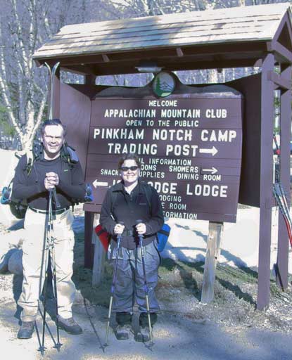
Tuckerman Ravine Hike-n-Ski - April 10, 2005
Activity, photos, and trip report by Randy C.
| The weather was too perfect for some, so
the only GONewEnglander who showed up was GONewEngland Motivator Kathy
Kelly. Weather was a sunny, 45 degrees and rising at the bottom.
Testament to weather � there was a bull
moose sunning himself in a field next to Route 115 in Whitefield � at
least 5� tall laying down. (Where�s my camera when/while I�m driving).
The parking lot was full by 8:30. Perfect temperatures for an uphill
hike in shirtsleeves and water in a MaiTi bottle.
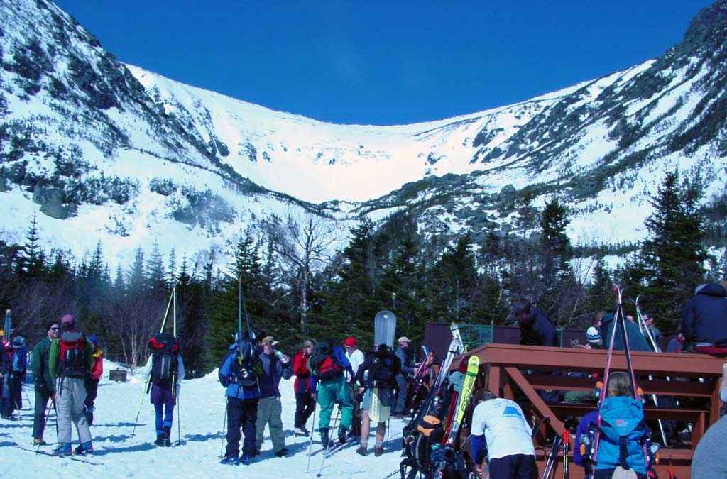
There�s a party at Hermit Hut
with 1750 visitors to the notch this weekend.

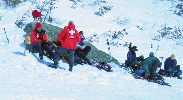
WMNFS Safety Patrol � Live
free, but live to tell about it. These guys and girls give it up for our
peace of mind.
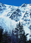
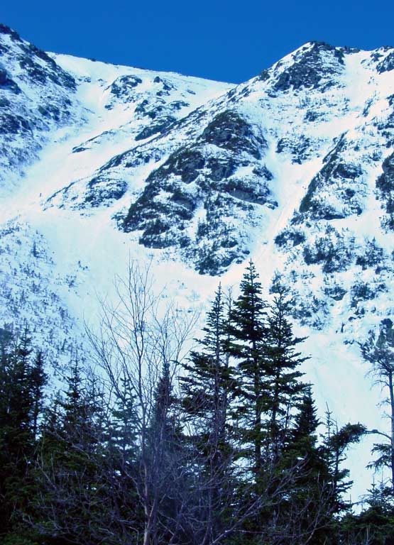
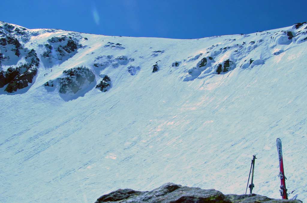
Hillmans Highway
The bowl was so white that it
confused my camera filter and overexposed most of the roll (chip).

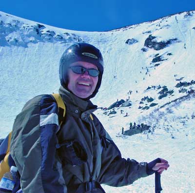 |
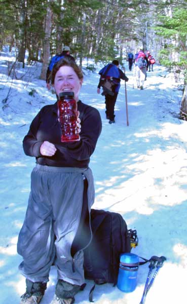
Kathy soaked up the rays
and made friends on lunch rocks. Randy hiked up �Chute� for a
schuss. The top was cooler, windier and starting to crust. Randy
caught a tip near the rocks and did a third of a run �off skis�.
Rolling snow buried a pole permanently � no more runs this weekend.
|
|
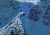
The action in the bowl was
nonstop including several runs over the cliffs - 30� of controlled
freefall to wild cheers. Falls were hailed throughout the bowl �
everyone got back up. The John Sherbourne was open but our group
left Hermit Hut as a unit for a gravity enhanced stroll to the base.
Sunset followed shortly.
 |
 |
|
|
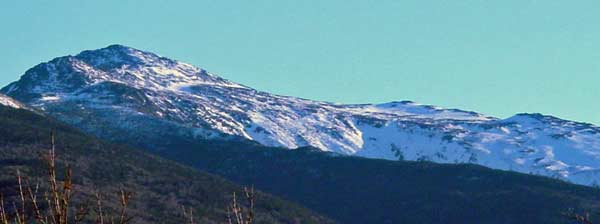
Joe English Hill Hike - March 5, 2005
Activity by Pam F.
 |
Good luck finding Joe English Hill! It's a shame nobody
knows where it is---it's a nice hike, steady, but short. You can
wander around at the top to create your own 360 degree view that takes
in the White Mountains, Mount Monadnock, a few ski areas to the west,
Boston, and the Uncanoonucs. There's also a little picnic spot
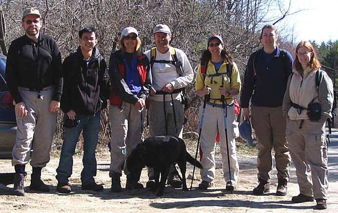
for you. Before the hike, GONewEnglanders Randy, Pam, John, and
Diane prepared for the pre-snowshoe worship ritual...
GONewEnglanders Randy, Pam, John, and Diane show
proper reverence for their winter gear
and bow down in thanks to the sun gods for such a nice March afternoon |
We wandered onto the trail, which is a steady uphill climb---not too long
or too high, though. It was a gorgeous day with full March sun and a
little bit of wind that chilled things slightly. The trail is on
private land, and there they are mining for flagstones
 .
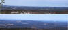
As we went along, we began to get the views---great for a short hike! .
As we went along, we began to get the views---great for a short hike!
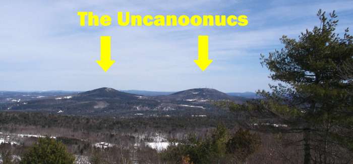
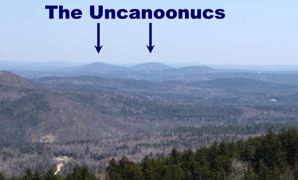
Pam---These are the Uncanoonucs
Mt. Monadnock just left of center
Boston, MA We took a break at a
great picnic spot.
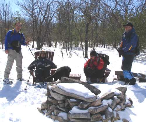
Randy, Pam, Shadow, Diane, John
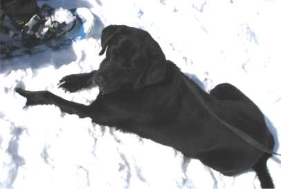
Shadow loves the snow! After our
picnic stop we wandered back down to a tavern in New Boston, NH for some
brews and chow. But before we left, I grabbed some more scenery shots
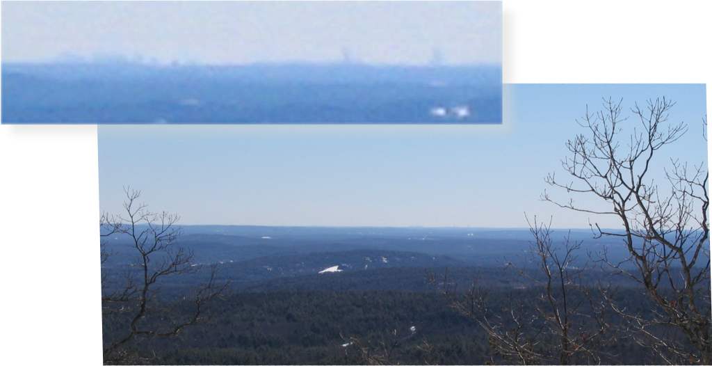
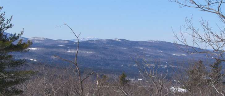
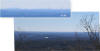
looking north. Can you pick out anything? Randy thought he saw
South Kearsarge, Moosilauke, and part of the Presidential Range. I'm
not so sure what I'm seeing whenever I look anywhere, so don't ask me!
:-)
NH's middle...and are those some of the White
Mountains?? |
|