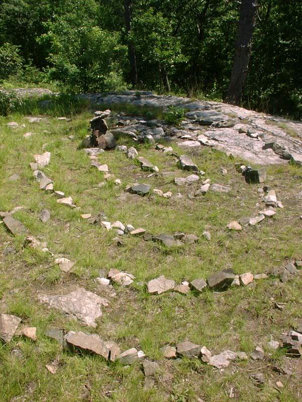
Middlesex Fells - June 29, 2002
Activity by Ken L.

Boston, Massachusetts
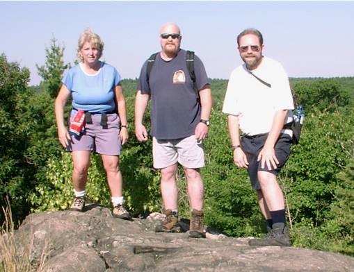 |
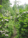
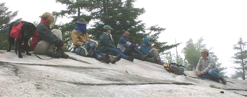
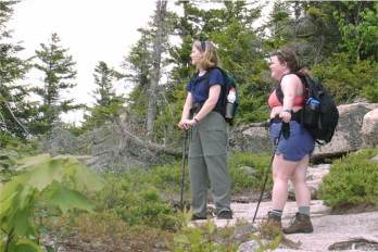
Deb, Jack, and I took the Skyline Trail around the west side of
the Middlesex Fells Reservation in the Melrose, MA area.
Our day started at the Sheepfold parking area off Rte 28 alongside
93 south. We decided to take the "who's who" trip report picture
at the first outlook we came to along the Skyline Trail. |
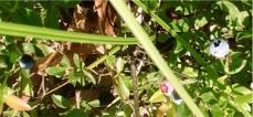
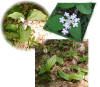
Although it's hard to see in the photo above, there's a nice, yummy
ripe blueberry on the right. (Don't bother going back and looking
for it---I can assure you it's gone. Yummy!) |
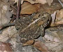
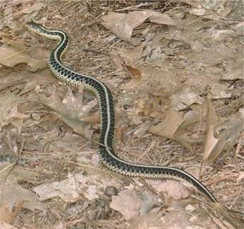
On the right is a garter snake. These guys are
quite harmless, but they will nip at you if you taunt them. This
ain't no "Crocodile Hunter" show, so we just the snake go on its way.
Please leave the animals alone when you're out in the woods.
Blueberries, however, don't move fast enough...:-) |
 |
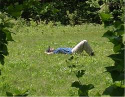
 We anticipated the arrival of dancing elves at any
moment.
We anticipated the arrival of dancing elves at any
moment.
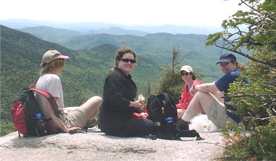
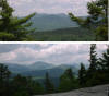
Our trek took us most of the way along the Skyline Trail, including a
stop at the lookout tower that gave us a great view of Boston (above).
After that it started getting late for Jack and Deb, who had other things
they needed to get to, so we took the Reservoir Trail back to Sheepfold.
This was only the second time Your Webmaster had been in this area (at
least since the Nixon era, and even then he's not sure), the first being an
evening rain-out on the Skyline and Bike Loop trails a few weeks ago.
This time I got to see more of the trails and some great views of the
city---but also some surprisingly woodsy areas as well. Not bad for a
park in an area that sees cars more often than skeeters!
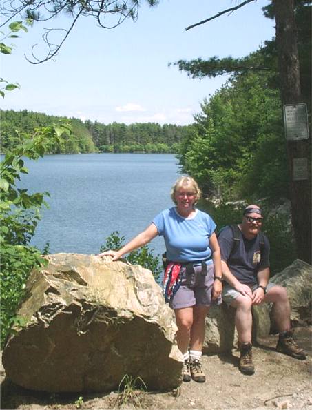
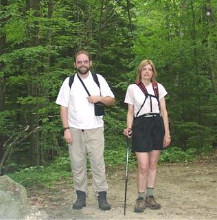
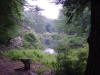
 Deb and Jack near one of the three reservoirs.
 |
Purgatory Falls - June 22, 2002
Activity by Ken L.
 |
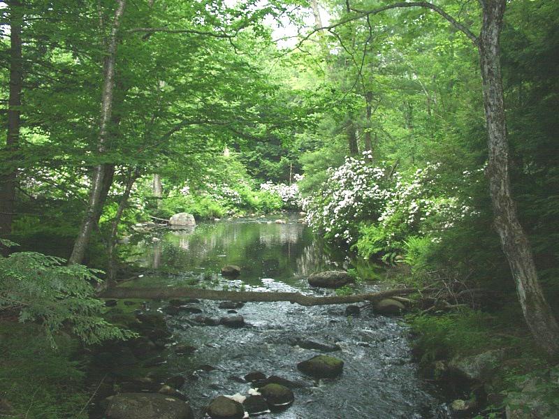
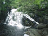
We last did Purgatory Falls in
November 2001, and it turned out to be a delightful little hike of
some 5 miles or so with some rather pretty scenery along the way.
This time out Pam and I actually did the whole length of the trail,
and there were some surprises for us in store...but also some
not-so-nice surprises.
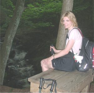
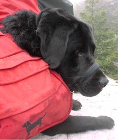
Sorry, no Shadow! The day started out a bit too hot and muggy
for the pup, so he didn't come along. |

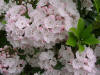
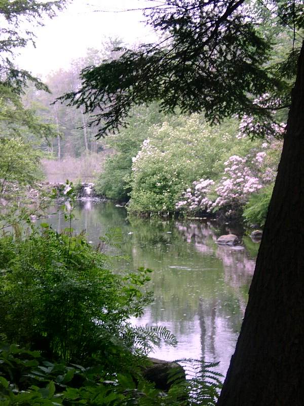
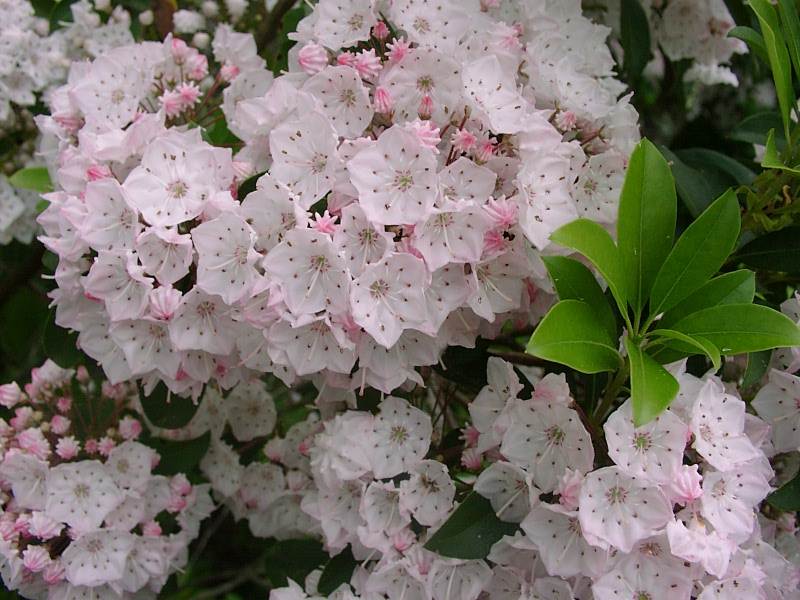
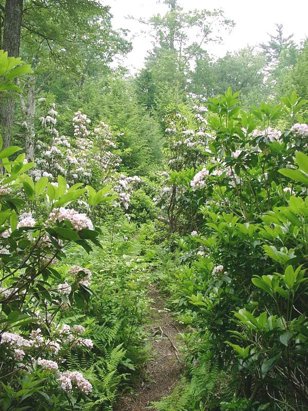
Mountain laurel in bloom
There are several areas of mountain laurel, which was just
about in full bloom for us! It's worth braving the skeeters to go in
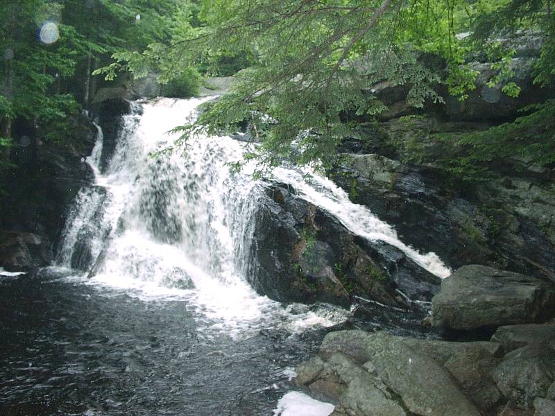
and have a look. Plus this time out we actually did get to the lower
falls, quite nice, although apparently empty at other times of the year.
But with the bugs and the rain, we decided to make one pass
through the woods instead of heading back along the other side of the brook
as a loop. We made it out to the lower parking lot, then it was a
rather long walk up Orchard Hill and back to the car. We figure it was
about 3 miles in the woods and another 8 or so on the road. So I'd
suggest that if you wish to check out the mountain laurel in late June, head
in the lower parking lot (Center Rd. to a parking lot on Purgatory Rd.) and
follow the brook until the beaver pond, then beat a hasty retreat before the
skeeters drain you! Else this type of hike is probably best when the
bug population is a bit lower.
Unfortunately it looks like this wonderful hike may not be
around forever, as the folks at Feel Good Farm are clearing land on one side
and have obliterated the trail in parts. Hikers are welcome, however,
for as long as it lasts. Hopefully they're just doing a bit of logging
and things will grow back. Also there seems to be a little more
clearing being done on the other side of the river (which we didn't get to
this time). Let's hope the chainsaws and bulldozers leave enough of
the area in its natural state so others can enjoy this hike for generations
to come.
I found a
report
on-line from January 2000 that indicates the conservation efforts going on
in this area. The towns of Mount Vernon and Lyndeborough wish to
create a 300'-500' buffer around the brook and get land owner permission and
easements for the trail system. They may connect the Purgatory Falls
area with Joe English Hill Reservation in the future as well.
I don't know of any other place like this one with its quiet
pools, gentle brook, and lush glades. Highly recommended.
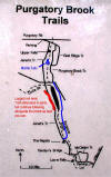 |
Here's a map of the Purgatory Brook Trails with some
markings (in blue) by Your
Webmaster (so the accuracy is in question---but it's hopefully a
little more accurate than the markup I did in November :-) ).
The logged-out area has been marked. |
|
Mt. Sunapee - June 16, 2002
Activity by Pam F.
Report by Pam F. & Ken L.
Photos by Ken L.
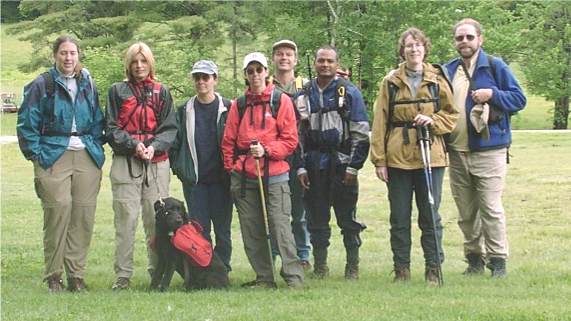 1 1
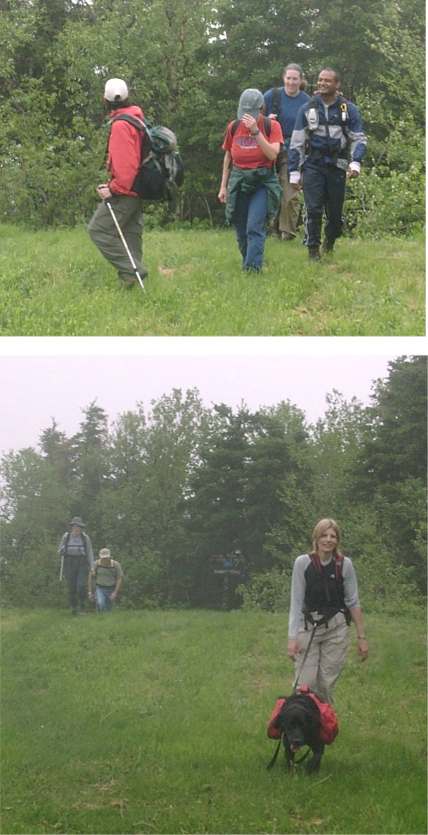
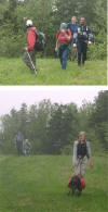
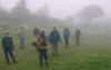
Dawn, Pam, Shadow, Marilyn, Michelle, Randy, Chandra,
Liz, and Your Webmaster
When we hiked up, it was cloudy. Part way down it
started to rain (with a little thunder). By the time we were off the
mountain, the sun was shining. As we drove away, it was cloudy again.
Just another day in New England!
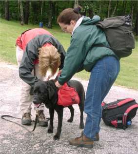 |
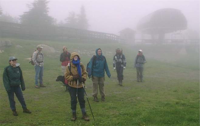
There were 8 people and one pup along on this hike. Shadow was
very cooperative (this time) when we put his pack on. The
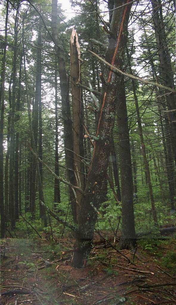
trail was wet and quite muddy in some spots. There were a number
of downed trees including the one below struck by lightning.

We're glad we weren't there when this happened |
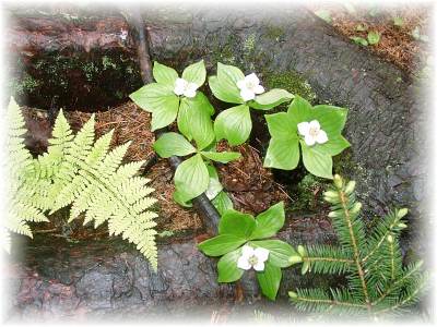 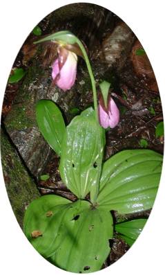
Ferns and flowers along the trail, including
ladyslipper (of course!)
 The Mt. Sunapee trail has a gentle slope, and we reached the summit fairly
easily, where we stopped to have lunch. We shared our various lunch
treats.
The Mt. Sunapee trail has a gentle slope, and we reached the summit fairly
easily, where we stopped to have lunch. We shared our various lunch
treats.
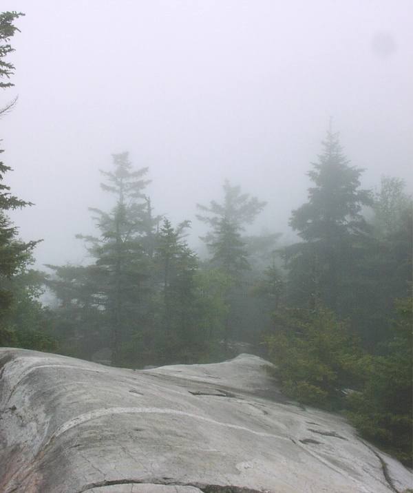
 The fog shrouded our view, though (usually you can see up to the White
Mountains). After lunch we walked over the ridge to the overlook where
you normally get a great view of Lake Solitude and beyond, but...
The fog shrouded our view, though (usually you can see up to the White
Mountains). After lunch we walked over the ridge to the overlook where
you normally get a great view of Lake Solitude and beyond, but...
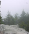
Still, it's a nice place to rest and hang out for a few
minutes.
 Even Shadow thinks
so. Even Shadow thinks
so.
Oh well, at least the clouds/fog/drizzle/rain meant comfortable hiking
temperatures. After our adventure we went to have some dinner at a
local establishment, then it was time to head home.
|
Mt. Hale - June 8, 2002
Activity, Photos by Tom S.
Naoe, Tammy, and Annette take a break...
...but while mugging for the camera, Tammy digs into
Annette's lunch! :-)
|
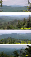
Jennings Peak/Sandwich Mt. - June 8, 2002
Activity, Report by Ken L.
Photos by Ken L. and Dawn S.Look---recharged
batteries!!! And in more ways than one for Your Webmaster...
 Uhh, Dawn?
Dawn? C'mon, let's go, we've got a hike to do! Uhh, Dawn? Uhh, Dawn?
Dawn? C'mon, let's go, we've got a hike to do! Uhh, Dawn?
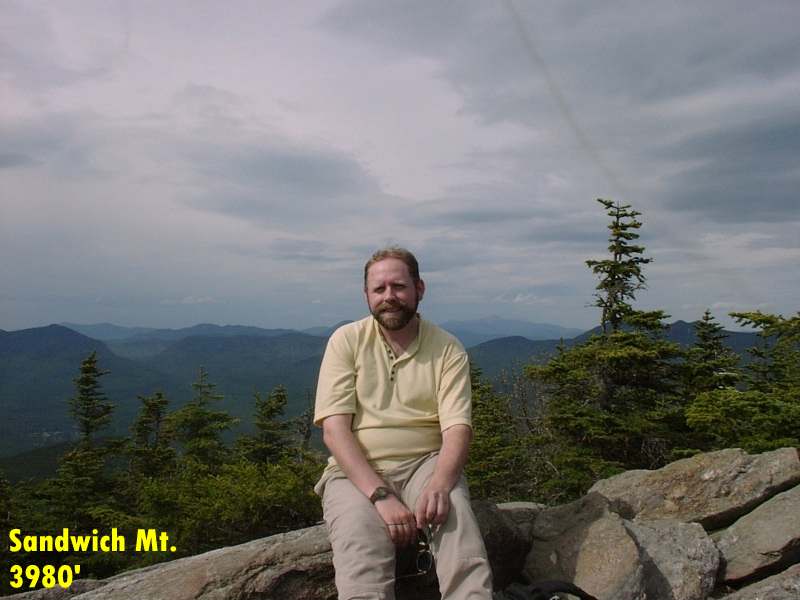
Saturday's hike took us up Waterville Valley's Jennings Peak
and then to the summit of Sandwich Mt.---just shy of 4000'. It's a
relatively gentle climb along the Drakes Brook Trail to Jennings, then over
the Sandwich Mt. trail to Sandwich. Our return was along the Sandwich
Mt. Trail the whole way, and there are sections of that I wouldn't want to
ascend, I'll tell ya! It was some 7.5 or 8 miles by the time we were
back at the cars.
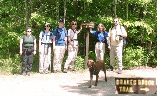
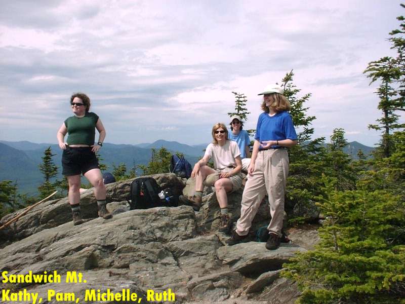
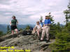
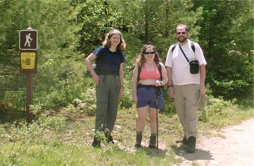
Kathy K, Michelle, Dawn, Pam, Ruth, Your Webmaster...
and Cooper (who was hiking with other people but wanted his picture taken)
Our day started out bright and sunny but became overcast
later on. It seems that every time Kathy K. sets out for Sandwich Mt.,
the weather closes in. Fortunately we were climbing "just" Jennings
Peak, right? (Grin!!!) So the Weather Gods allowed us to pass
with only a raindrop or two all day long.
The photo above was about the last we saw of Ruth.
She's been hiking with "younger people" (AHEM!) like her daughter, so she's
used to moving a bit more quickly than us "older folks", right, Ruth?
:-)
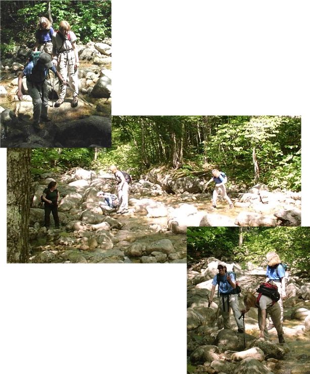
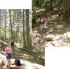
The Drakes Brook Trail follows an old logging road part of
the way. Our first obstacle was the stream crossing. Last time
we did this hike, someone went for an unintentional swim, but this time
there were no mishaps. Well, almost.
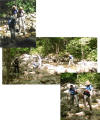 The trail continues at a reasonable grade for a while with just a few short
steeper sections, following Drakes Brook most of the way.
The trail continues at a reasonable grade for a while with just a few short
steeper sections, following Drakes Brook most of the way.
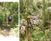 Your Webmaster snapped a few pictures of the local flora, including trillium
and ladyslipper.
Your Webmaster snapped a few pictures of the local flora, including trillium
and ladyslipper.
Pam and I were way behind the rest of the group as we
approached Jennings Peak. Ruth had been there for a while long before
we arrived, and she was coming down off the peak to head over to Sandwich
Mt.
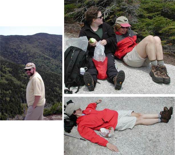
The rest of us reached Jennings Peak just in time for the
hunger pangs to set in, so we grabbed some lunch...
...and lazed out.
| But our real goal of the day--not what we told the Weather
Gods--was Sandwich Mt., provided Your Webmaster's feet held out.
From Jennings Peak we eyed the ridge that would lead us to the top of
Sandwich, and we decided to go for it - another 1.2 miles on. There
were a number of blow-downs on this part of the trail, but it's a
rather easy slope for the most part.

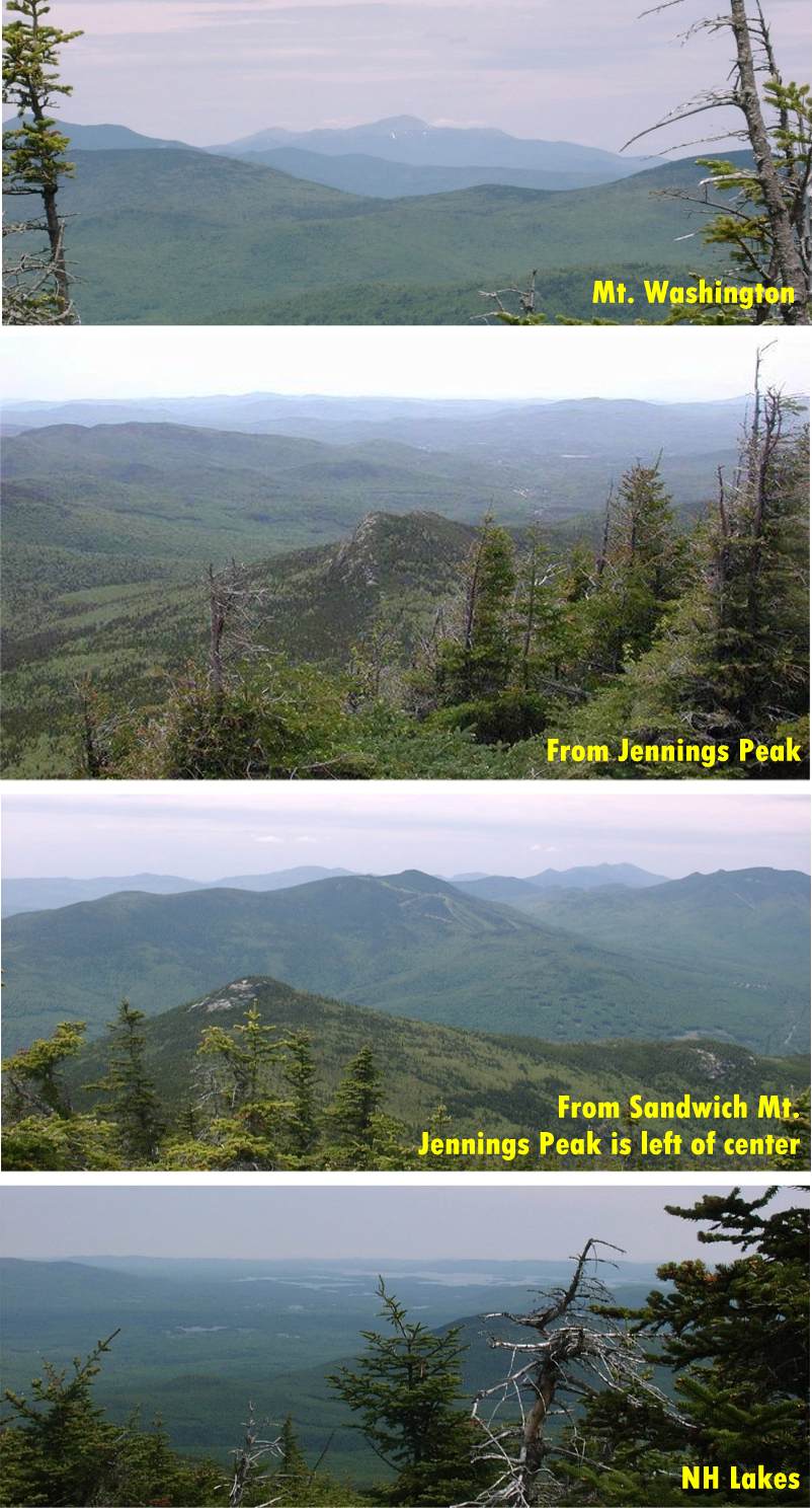
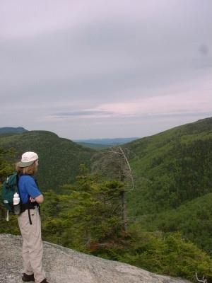
There's a somewhat limited view from the summit, yet
we snapped a few nice pictures, including some of the NH Lakes Region
from a small vantage point on the other side of the peak. |

Sandwich Mt.: Just 1.2 miles thataway! |
 |
The day was growing old, and Your Webmaster was last one off the
summit at 4pm. Fortunately at this time of year there's more
than sufficient light, so time wasn't a huge concern, but it's better
to be safe than sorry, and 4pm was our cutoff time. The way down was
along the Sandwich Mt. trail, and Pam, Kathy, Ruth, and I hiked most
of it together, Ruth preferring to slow down on the descent.
Further down the ridge from Jennings Peak is an overlook where the
valley and all its beauty just flows out from under your feet.
We stood there for a while just admiring the view, listening to the
wind in the trees and the sound of the brook far below in the ravine. |
After descending some really steep sections on the Sandwich Trail and
weaving down the ridge for quite a while, we came across Drakes Brook again
and proceeded across. Up the other side and through a field, and we
were back to the parking lot.
The gang and I found a pub on Rte 49 for dins, and we're really glad they
took stinky hikers!! :-)
Great day overall. Major thumbs up for that hike for its decent and
not-so-strenuous slope, its variety, the fact it's a loop, the good stopping
spot for lunch, and views.

Ruth C. invited me and KK to hang out overnight at a ski lodge in
Woodstock (thanks for the invite, Ruth!), and in the morning we decided to
hike up Mt. Potash.
Ruth, Kathy, Your Webmaster
| Mt. Potash is 2700', reachable from a trail off the Kancamagus
Highway. Round trip it's about 4 miles, with a stream crossing
early on and a few steady grades.
 KK and Ruth along the trail
 |
 |
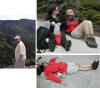
The views from Mt. Potash
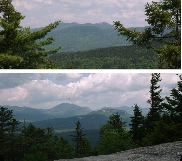
 are quite nice, if a little limited. Along one ledge halfway up you
get a very good view of Mt. Chocorua (top). The little black dots in
the bottom picture, you ask...ummm...black flies. Thank goodness for
the wind! At the summit we stopped for a while, and Your Webmaster
found a great cut-out in the rock to laze for a while. The wind kept
the bugs away a little, so we got to spend some relaxation time at the top.
are quite nice, if a little limited. Along one ledge halfway up you
get a very good view of Mt. Chocorua (top). The little black dots in
the bottom picture, you ask...ummm...black flies. Thank goodness for
the wind! At the summit we stopped for a while, and Your Webmaster
found a great cut-out in the rock to laze for a while. The wind kept
the bugs away a little, so we got to spend some relaxation time at the top.
On the way down we came to the stream crossing, but it was time for Your
Webmaster to give his feet a treat in the nice, cold water...aaaaahhhhhhhhhh,
very nice. :-)
As I made for the end of our delightful Sunday hike, I thought back to
the two hikes I'd done over the weekend. Having been out of action
with foot problems for a while (and still not 100%), it hit me how much I
really missed the exciting hikes, the views, and the good people I've been
hiking with over the years. May there be many more to come. ...kl... |
Mt. Israel Hike - June 2, 2002
Activity and Report by Ken L.
| Your Webmaster has been out of it so long that he
forgets what getting altitude is like. And he forgets to
recharge his camera batteries...
Mt. Israel is a bump just north of the Lakes Region, 2630'.
You reach the summit via the Wentworth Trail from the Mead Base Camp,
about 4.5mi round trip.
Meeting up for this hike were Frances (here on a business trip from
North Carolina), Jen, Kathryn, Toto and his pup Eldora, and Your
Webmaster (of course). Finding the trailhead is a chore, and the
directions in the AMC Guide aren't good. The bigger book "New
England Hiking" (it has a green cover) has much better directions.
We started off at the Mead Base Camp and up the gentle to moderate
slopes of Mt. Israel. The day started sunny with a little
breeze, but it was pretty buggy, mostly pesky skeeters on the trail
and black flies everywhere else. But we made steady progress to
the "fake" summit, which is an area of some very nice views as you
break out of the trees. We decided it would be good to stop for
lunch and found a spot out of the wind in the last of the sunshine we
had that day.
The "real" summit is some distance beyond where we had lunch,
marked by a large rock and cairn. We made it there a few minutes
after our lunch stop. The sun had gone in behind the clouds, and
the wind at the summit was making folks chilly.
Having been there before, I told the folks to wait a second and not
head back yet. I wandered past the summit where I recalled an
overlook---and found it again. I went back to the group and
dragged them over to this spot on the very end of the summit---an
overlook offering views from Tripyramid to the north, Chocorua to the
east, and the Lakes to the south (including Red Hill). And there
was no wind! We sat there for a while talking and trying to pick
out the mountains surrounding us on a map.
Then, unfortunately, it was time to head back down.
Your Webmaster had to take off, but the others wandered over to a
waterfall not far from the Mead Base Camp. I'll get to see that
the next time!
Mt. Israel is a surprisingly rewarding hike for a modicum of
effort, just remember to go past the real summit to the overlook for
end-of-the-world views. |
|
Concord, MA Bike Ride - June 2, 2002
Activity and Report by Michelle H.
| We had a
wonderful turn out on this typically New England-ish but beautiful,
day. 18 folks met at the monument in Concord, Mass for the 20 mile
ride. The weather was perfect -- sunny, warm, a slight breeze, big
blue sky. We got to the halfway point, Great Brook Farm in Carlisle,
on rolling country lanes under cover of beautiful shade trees and
flowering bushes amidst new McMansions and old farms with only one
small incident. One participant's bike slipped out from underneath him
as he rounded a corner but the injury was minor and the hardy soul
jumped back on his bike and rode on with enthusiasm (note to
leader...carry antiseptic supplies and Band-Aids).
We spent about 20-30 minutes at GB Farm enjoying the facilities,
snacking, and tasting ice cream. As we took off, some of us noticed
big, black clouds coming our way from the west...yes, we were in for
some rain. About 10 minutes into the second half of the ride the rain
started; we were briefly pelted with hail too! The rain, accompanied
by gusts of gale force wind, poured down on us in apx. 10 minute
bursts (for a total of about 30 minutes) alternated with teasingly
calm and sunny breaks.
In addition to the rain, the humble trip leader didn't remember the
second half of the trip, mostly in Acton, as being quite as hill-ishly
challenging as it was! While it was hard to enjoy...or even see...the
natural beauty on this part of the ride, it was decided that
struggling against the wind, rain and hills made for a good story and
gave us all real bragging rights.
We were mostly dried out and back to stable sunny, warm weather by
the time we reached the end point back at the monument in Concord.
About 9 people went on for lunch where we met up with 2 other GO New
Englanders who had were not able to join the ride but decided to visit
Concord anyway.
18 people started the ride: 3 continued on without break at Great
Brook Farm; 2 decided to stay longer at the rest stop. Participants
really worked as a team, watching out for each other and calling out
warnings for pot holes, left or right turns, speed changes and
approaching cars.
All in all is was a great ride on a great day with a wonderful
group of people. |
|
|